 Sipo Waterfall National Park
166 view · 21 Feb 2024
#Thailand#Narathiwat#Ra-ngae#Attraction
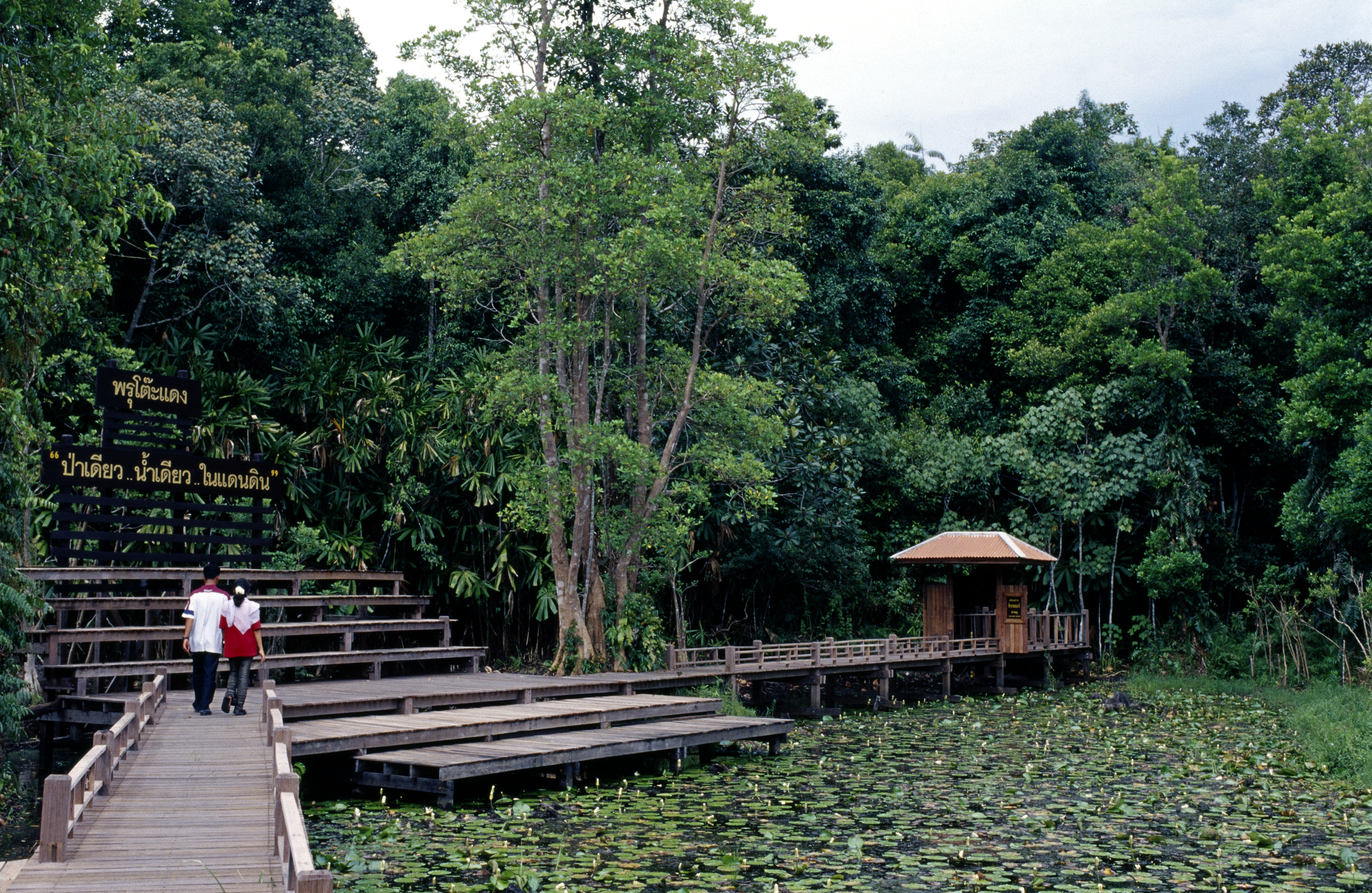
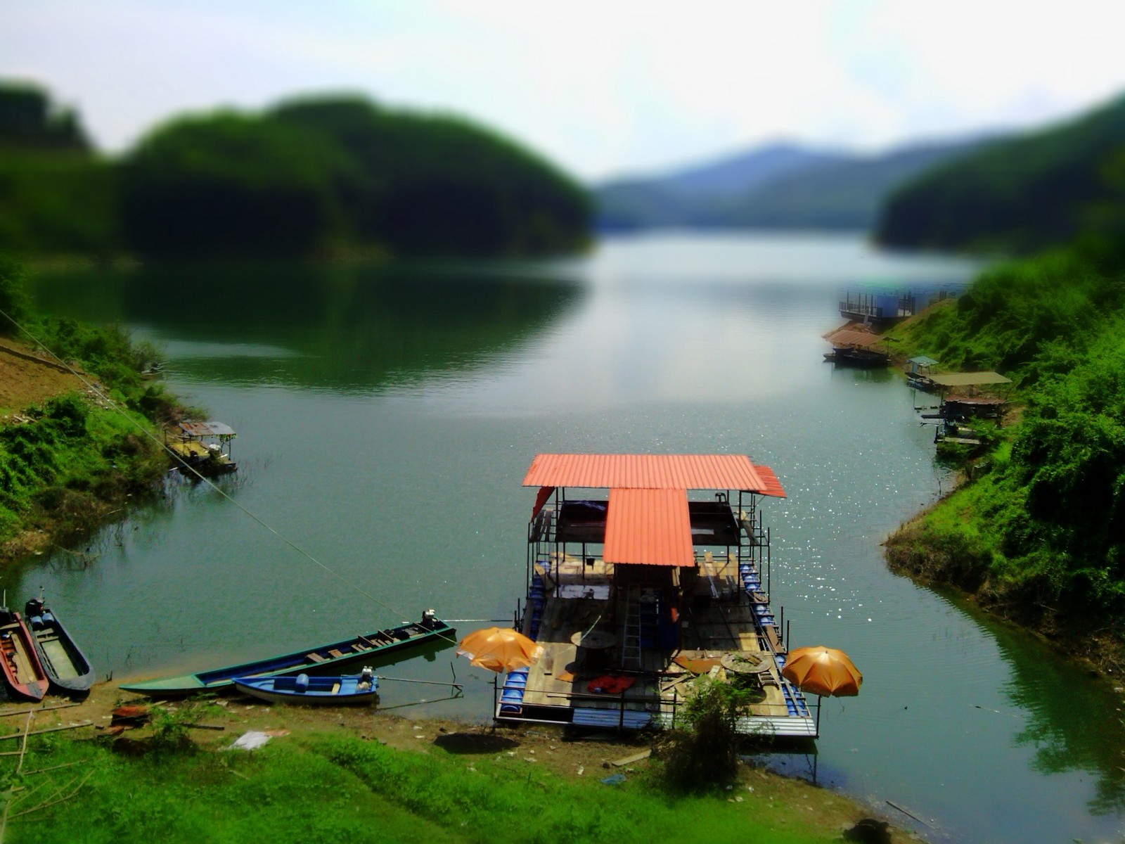
Sipo Waterfall National Park, with an area of approximately 180,518 rais or 288.83 square kilometers, covers the local areas of Dusong Yo Subdistrict, Kalisa Subdistrict, Chalerm Subdistrict, Marue Bo Tok Subdistrict, Tamayung Subdistrict, Sako Subdistrict, Si Banphot Subdistrict, Choeng Khiri Subdistrict, Chana District, Rangae District, Rue Sao District, Si Sakorn District, Narathi Province. Vassa topography is a complex of high mountains arranged from north to south, with the peak of Mae Tae being the highest peak in the park. The forest conditions in the area are still very exuberant, with most evergreen forest.
 Routes for place
(Not found)
Other Places...


